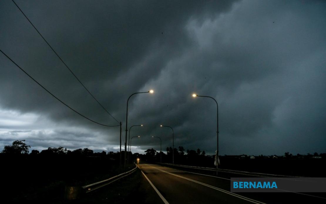
Malaysia's Meteorological Department has activated a weather alert system covering seven states across the peninsula, Sarawak, and Sabah, cautioning residents of dangerous thunderstorm conditions expected to persist until midnight. The warning encompasses a broad geographic area with specific district-level forecasts, signalling the intensity and unpredictability of the atmospheric system moving across the region. Authorities are urging residents, commuters, and outdoor workers to exercise heightened caution as severe weather develops.
On the Peninsular Malaysia mainland, the entire state of Melaka faces the adverse conditions, while Terengganu experiences widespread exposure across seven districts: Setiu, Kuala Nerus, Hulu Terengganu, Kuala Terengganu, Marang, Dungun, and Kemaman. The geographic spread along Terengganu's coast and interior demonstrates how the weather system is affecting both coastal and inland communities simultaneously. This pattern suggests a robust weather disturbance with considerable depth and horizontal extent.
In central Peninsular Malaysia, neighbouring states are not spared from the forecast deterioration. Pahang will see impacts concentrated in the Jerantut and Bera districts, which lie along important road corridors connecting the east coast to the interior plateau regions. Negeri Sembilan's Jempol and Tampin districts form part of the affected zone, while Johor faces perhaps the most extensive warning coverage, with six districts listed: Tangkak, Segamat, Muar, Batu Pahat, Kluang, and Pontian. The scale of the Johor coverage suggests that southern Peninsular Malaysia's transport infrastructure and economic activity hubs could experience significant disruption.
The warning extends beyond the peninsula into Sarawak, where four distinct zones have been identified for thunderstorm risk. Sarikei and Sibu, both major towns in the state's central region, are included alongside Limbang in the northeast. The Song district, which falls under the Kapit Division in the interior, suggests the system will penetrate deep into Sarawak's hinterland. Additionally, the Pusa, Saratok, and Kabong areas within the Betong Division in southwestern Sarawak complete the state's exposure, indicating that the severe weather is not concentrated in any single region but distributed across the state's geography.
Sabah's warning zones reflect similar dispersal across the state's major population centres and districts. Sipitang in the Interior Division faces the threat, while the eastern coastal and southern regions experience particular focus. Sandakan, a major port city and commercial hub, is included in the alert, as are the districts of Tawau, Kunak, and Lahad Datu, which form the Tawau Division. This cluster of affected areas in eastern Sabah encompasses some of the state's most economically significant regions, including major ports and trading centres.
Thunderstorms of this magnitude warrant serious preparedness measures from both individuals and public authorities. The combination of lightning, heavy rainfall, and strong wind gusts creates multiple hazard pathways that can lead to flooding, infrastructure damage, and disruption to transportation networks. Residents in affected areas should secure outdoor items, avoid unnecessary travel, and remain alert to weather updates issued by MetMalaysia throughout the evening.
The timing of the warning, extending to midnight, provides a defined window for which residents and authorities can plan defensive measures and maintain heightened vigilance. However, the geographic breadth of the affected region poses coordination challenges for emergency services, which may face simultaneous incidents across multiple districts and states. Public utilities, particularly electrical suppliers, often experience increased demand for emergency response during such weather events.
For the transportation sector, the warning carries significant implications. Commercial traffic along major highways crossing the affected zones, particularly in Johor and Terengganu, may experience delays or require rerouting. Public transport operators will likely implement cautious driving protocols. Airports and seaports in affected regions may also adjust operations according to real-time conditions, particularly in Sarawak and Sabah where weather-dependent travel is a critical component of logistics.
The issuance of district-specific warnings rather than blanket state-wide alerts reflects increasingly sophisticated meteorological forecasting capabilities. This granularity allows residents and administrators to apply resources more efficiently to genuinely at-risk areas. However, it also requires that emergency management frameworks at local government levels remain responsive and capable of interpreting technical forecasts into actionable community advisories.
MetMalaysia's alert serves as a reminder of Malaysia's tropical climate characteristics, where intense convective weather systems can develop rapidly and affect large areas simultaneously. Residents should monitor official updates closely, as meteorological conditions can evolve quickly and warnings may be extended or intensified if the system proves more severe than initially forecast.

