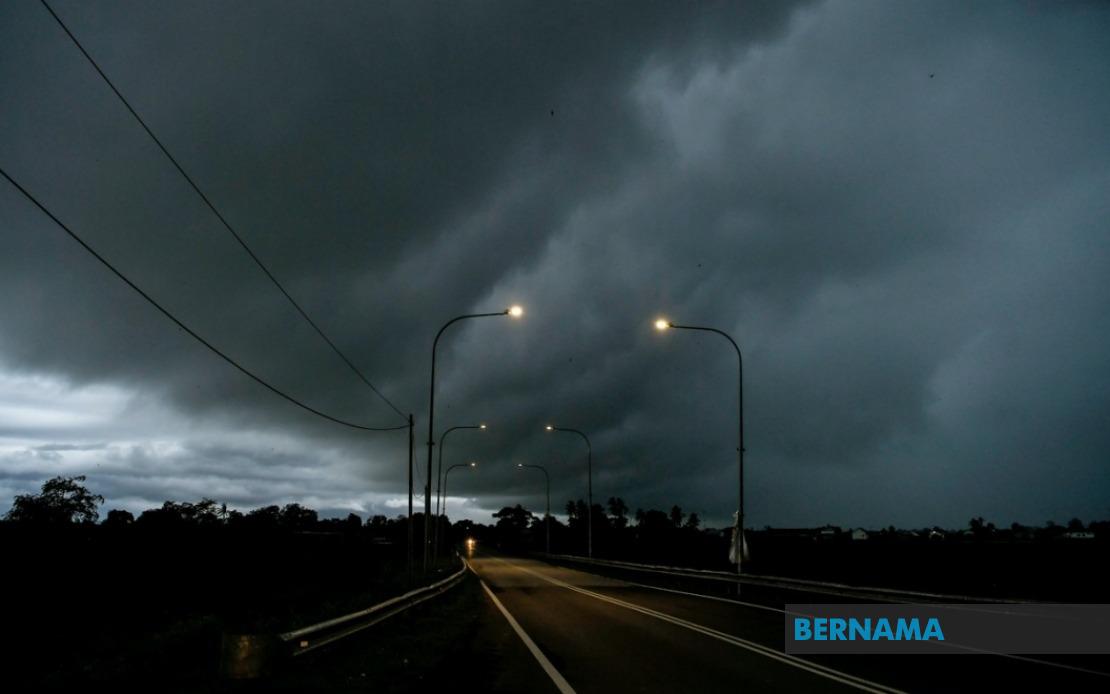
The Malaysian Meteorological Department released an urgent advisory on August 18 warning residents across Peninsular Malaysia to prepare for hazardous weather conditions expected to persist until midday. The alert encompasses a considerable swathe of the country's western corridor, signalling meteorologists' concerns about rapidly developing atmospheric instability that could spawn intense convective systems throughout the morning hours.
In the northern regions, Kedah's Kuala Muda and Yan districts face the brunt of anticipated disturbances, while Penang stands under similar precautions. The neighbouring state of Perak, particularly the Bagan Datuk locality, has also been flagged in the warning. Selangor residents across eight administrative divisions—Klang, Kuala Langat, Sepang, Kuala Selangor, Petaling, Sabak Bernam, and Gombak—should exercise heightened vigilance as the weather system progresses. Both Kuala Lumpur and Putrajaya, Malaysia's twin federal territories, remain within the affected zone, making the alert particularly significant for the nation's administrative and commercial heartland.
The meteorological authority extended its warning timeline for portions of Perak, where additional districts including Kerian, Larut, Matang and Selama, Manjung, Perak Tengah, and Hilir Perak face threats until 1 pm. This staggered timing reflects the expected progression of weather systems across the peninsula, with different regions experiencing peak severe weather at distinct intervals. Such differentiation underscores the department's refined forecasting capabilities and the localised nature of tropical thunderstorm development.
Thunderstorms of the magnitude warned about by MetMalaysia typically bring multiple hazards beyond mere rainfall. Strong gusty winds accompanying these systems pose risks to unsecured structures, outdoor installations, and can disrupt power distribution networks across affected communities. The heavy precipitation component threatens to overwhelm drainage infrastructure in urbanised areas, potentially creating localised flooding in low-lying zones and flood-prone localities. For maritime activities, the combination of strong winds and heavy rain reduces visibility and sea conditions, prompting necessary caution among fishing communities and water-based transport operators.
For Malaysian commuters and workers, such warnings carry practical implications extending beyond mere weather inconvenience. Traffic snarls frequently materialise when thunderstorms coincide with peak morning travel hours, as visibility diminishes and road surfaces become treacherous. Public transportation schedules may face disruptions, and workplace safety protocols typically require outdoor work suspension during active severe weather episodes. Schools and commercial establishments often implement contingency measures when such alerts are in effect, particularly in regions heavily impacted by previous storm incidents.
The timing of this alert—issued for a morning window extending to midday—suggests the weather system is expected to develop during peak business hours, when commercial districts and residential areas alike are most actively engaged. This temporal factor amplifies the impact on daily operations across the peninsula's economically significant zones. The Federal Territories, encompassing the capital and administrative centre, warrant particular attention given their population density and critical infrastructure concentration.
From a broader meteorological perspective, August thunderstorm activity in Peninsular Malaysia reflects typical seasonal patterns driven by the Southwest Monsoon, which dominates the region during this period. Elevated moisture availability and atmospheric instability during monsoon seasons frequently generate organised convective systems capable of producing severe weather, particularly across western coastal and near-coastal regions. The geographical distribution of this alert—predominantly western peninsular states—aligns with expected monsoonal precipitation patterns where moisture-laden oceanic winds encounter the peninsula's topography.
Residents within warned areas should take precautionary measures including securing loose objects, avoiding unnecessary outdoor exposure during peak storm times, and monitoring updates from MetMalaysia as conditions evolve. Emergency services across affected states typically activate heightened readiness protocols during such warnings, positioning resources strategically to respond to weather-related incidents. Motorists should exercise exceptional caution, reducing speeds and increasing following distances, whilst avoiding flood-prone routes during the warning period.
The Malaysian Meteorological Department continues monitoring atmospheric conditions with real-time observation networks and satellite data integration, enabling them to refine predictions and adjust warning parameters as necessary. Residents can access updated forecasts through official MetMalaysia channels, which provide granular district-level detail enabling personalised preparedness planning. Given the severity designation accompanying this alert, public responsiveness to official guidance remains critical for minimising adverse impacts across Peninsular Malaysia's densely populated western corridor.

