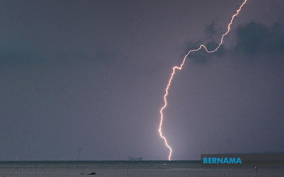
Malaysia's weather authorities have activated severe weather warnings across swathes of the peninsula and Sabah as atmospheric conditions deteriorate ahead of an afternoon deadline. The Malaysian Meteorological Department released guidance on Tuesday covering thunderstorms, torrential rainfall and gusty winds expected to batter seven states plus the federal territory of Labuan, with conditions forecast to persist until 5 pm.
Perak bears the brunt of the alert, with nine districts placed on high alert. The department flagged Manjung, Kinta, Perak Tengah, Kampar, Bagan Datuk, Hilir Perak, Batang Padang and Muallim as zones where dangerous conditions will likely develop. Across the state border in Kedah, the isolated district of Baling also enters the warning zone, completing the northern peninsula picture.
The eastern seaboard faces equally significant disruption, with seven Terengganu districts affected: Setiu, Kuala Nerus, Hulu Terengganu, Kuala Terengganu, Marang, Dungun and Kemaman all fall within the warning perimeter. The intensity and breadth of the Terengganu alert reflects the vulnerability of this monsoon-exposed coastline to rapid weather deterioration during unstable atmospheric periods.
Pahang's interior and coastal zones join the warning list, encompassing four distinct areas. Tanah Tinggi Cameron, the highland region that serves as a significant tourist destination, faces potential disruptions alongside Lipis, Jerantut and Kuantan. The inclusion of Cameron Highlands underscores how these systems affect topographically varied terrain differently, with upland areas prone to flash flooding and landslide risks during intense rainfall events.
Selangor's western and central regions feature prominently in the alert, with authorities identifying Sabak Bernam, Kuala Selangor, Hulu Selangor and Gombak as zones requiring preparedness. These districts encompass both suburban sprawl and rural watersheds, meaning the warning carries implications for water supply infrastructure and surface transport networks serving the densely populated Klang Valley conurbation.
Southern Peninsular Malaysia experiences comparable threat levels, with six Johor districts named: Kluang, Mersing, Pontian, Kulai, Kota Tinggi and Johor Bahru. The geographic spread demonstrates that this system's influence extends from the southern tip northward, affecting both the productive agricultural zones of inland Johor and the coastal belt where tourism and fisheries generate significant economic activity.
East Malaysia registers in the warning zone through multiple Sabah locations. The Interior division, encompassing Kuala Penyu, Beaufort and Tambunan, faces the heaviest concentration of alerts. The West Coast division, Sandakan district with Beluran specifically highlighted, and the far northern Kudat zone complete Sabah's exposure. These mountainous, densely forested regions present distinct hazard profiles compared to peninsular areas, with terrain-induced rainfall intensification and isolated community impacts posing particular challenges.
Thunderstorm warnings carry specific operational implications across Malaysia's infrastructure and public services. Transport networks, including rail and highway routes crossing the affected zones, typically experience disruptions ranging from temporary flooding to debris obstruction. Schools and workplaces in warning areas frequently operate under heightened readiness protocols, with authorities prepared to implement closures or early dismissals should conditions deteriorate faster than forecast. Power utilities preposition maintenance crews in anticipation of wind damage to overhead lines, particularly in Perak and Terengganu where extended cable networks cross exposed terrain.
The afternoon deadline of 5 pm provides a defined window for residents and businesses to implement protective measures. However, these forecasts carry inherent uncertainty regarding precise timing and intensity, as convective systems developing over tropical maritime environments can strengthen unexpectedly. Communities in the warning zones are typically advised to secure loose outdoor items, avoid flash-flood-prone areas, and monitor official weather updates through MetMalaysia's channels rather than relying on social media interpretations of forecast data.
For Malaysian businesses with operations spanning these affected regions, the disruptions create supply chain considerations that extend beyond the immediate weather window. Manufacturing facilities relying on transportation linkages through Perak's industrial corridor or Johor's manufacturing hubs may experience logistics delays. Agricultural producers across Pahang's plantation zones face potential crop damage and harvesting postponements, while tourism operators in Cameron Highlands must manage cancellations and safety protocols for visitors already on-site.
The geographic pattern of this particular system reflects typical monsoon transition dynamics affecting Malaysia, where atmospheric instability concentrates along the peninsula's western flank and Sabah's mountainous interior. Understanding these spatial patterns helps explain why certain regions appear repeatedly in weather warnings whilst others see comparatively stable conditions, informing longer-term resilience planning for climate adaptation at both municipal and national policy levels.

