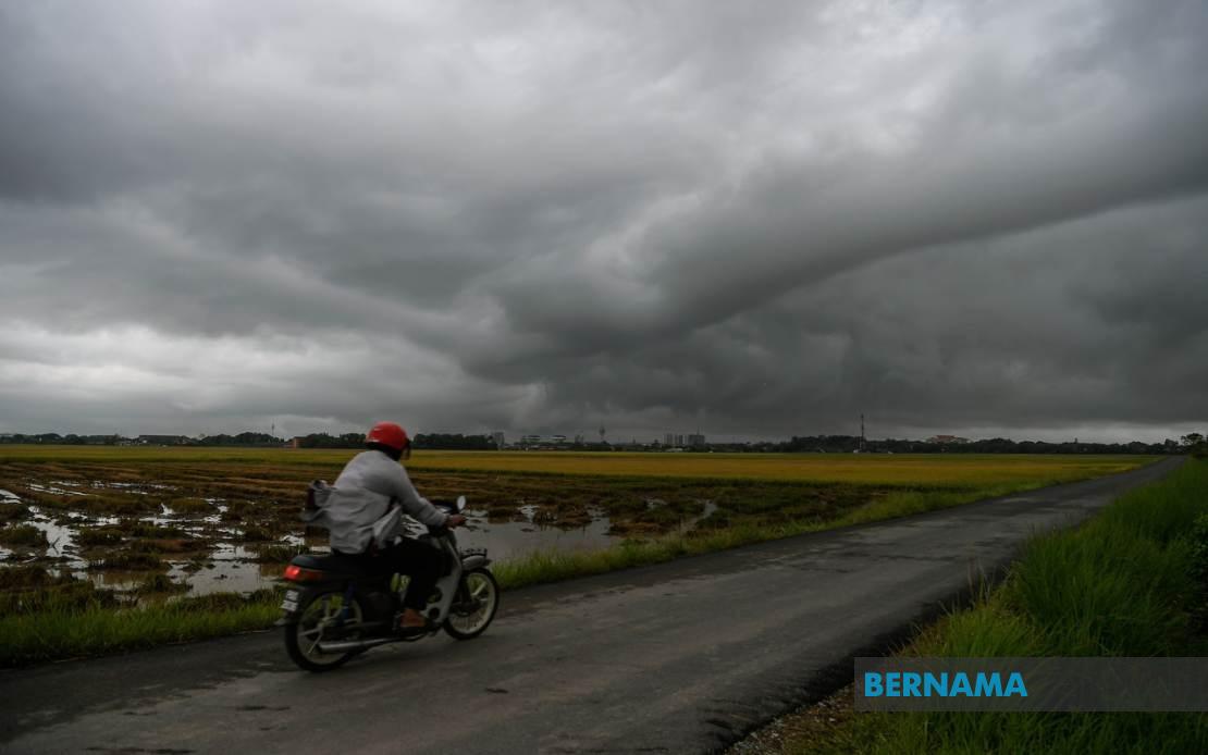
The Malaysian Meteorological Department (MetMalaysia) has alerted residents throughout the country to brace for deteriorating weather conditions, issuing a thunderstorm warning that encompasses large swathes of Peninsular Malaysia along with the East Malaysian states and federal territory. The alert, which remains in effect until 9 pm, encompasses thunderstorms accompanied by heavy rainfall and strong wind gusts across dozens of districts, prompting the department to urge the public to exercise heightened caution during this period.
In the northern region, Kedah faces the prospect of severe weather affecting the districts of Kuala Muda, Baling, Kulim and Bandar Baharu. The warning extends across the Strait of Malacca to Penang, where meteorologists have flagged the Northeast district alongside the three divisions of Seberang Perai—the northern, central and southern zones—as particularly vulnerable to the incoming system. These areas, which frequently experience intense monsoon activity, remain on high alert as residents prepare for the potential impact on daily routines and outdoor activities.
The impact zone in Perak stretches across much of the state's diverse geography, encompassing both coastal and inland communities. Kerian, Larut, Matang and Selama, along with the highland district of Hulu Perak and the cluster of central Perak districts including Kuala Kangsar, Kinta, Kampar and Batang Padang, are all within the warning perimeter. Notably, MetMalaysia has indicated that all districts across Kelantan face similar weather threats, suggesting that the eastern seaboard is experiencing widespread atmospheric instability that could persist throughout the afternoon and early evening.
Moving further south and east, Terengganu's coastal and inland communities including Besut, Hulu Terengganu, Kuala Terengganu, Marang, Dungun and Kemaman have been flagged for attention. Across the border in Pahang, residents in the cooler highlands of Cameron Highlands alongside lowland centres such as Lipis, Jerantut, Kuantan, Pekan and Rompin should remain vigilant for rapid weather deterioration. These warnings underscore the vulnerability of both highland and coastal zones to sudden atmospheric shifts that can generate severe convective activity.
The southern corridor presents another significant concern, with Johor experiencing its own substantial weather threat. Eight districts across the state—Tangkak, Segamat, Muar, Kluang, Mersing, Kulai, Kota Tinggi and Johor Bahru—have been included in the advisory. This broad coverage suggests that the weather system affecting the peninsula is neither localized nor fleeting, but rather a significant atmospheric phenomenon with genuine reach and intensity across multiple regions simultaneously.
Beyond the peninsula, East Malaysia faces comparable hazards. In Sarawak, the warning covers a scattered but substantial set of divisions and districts: Sibu and Mukah (encompassing Matu, Dalat and Mukah), Kapit with its Song district, Bintulu's Tatau area, and Miri including the sub-districts of Beluru, Miri and Marudi. These areas, often dependent on river transport and outdoor economic activities, face particular vulnerability during severe weather episodes that can disrupt supply chains and community connectivity.
Sabah's Interior and West Coast divisions have similarly been placed under alert. The Interior Division faces threats in Sipitang, Kuala Penyu, Beaufort and Tambunan, while the West Coast Division encompasses Papar, Penampang and Ranau. The Federal Territory of Labuan, strategically positioned off the Sabah coast, also remains within the warning zone. The breadth of the alert spanning from Peninsular Malaysia through Sarawak and Sabah illustrates the scale of the atmospheric disturbance, suggesting a weather system of considerable geographical extent.
For Malaysian residents and businesses, such comprehensive warnings typically necessitate immediate preparatory measures. Residents in affected areas are commonly advised to secure loose outdoor items, avoid unnecessary travel during peak storm hours, and monitor official weather updates for any escalation in severity. Authorities in flood-prone districts often position emergency response teams and equipment preemptively, recognizing that thunderstorms of this magnitude can swiftly trigger flash flooding in vulnerable communities.
The timing of the warning—extending until 9 pm—suggests meteorologists expect the atmospheric conditions to remain unstable through the late afternoon and early evening. This period often represents the peak intensity window for tropical convective systems, making the timing critical for public safety planning. Commuters and travelers should factor the warning into their schedules, as thunderstorm activity can substantially disrupt road conditions and visibility.
MetMalaysia's decision to issue such a geographically expansive warning reflects the organization's responsibility to provide timely, actionable intelligence to the public. The specificity of district-level alerts allows local authorities and residents to calibrate their response according to their particular exposure and vulnerability profile. While thunderstorms are commonplace in Malaysia's tropical climate, the scope and intensity of this particular system warranted the department's precautionary stance across so many regions simultaneously.

