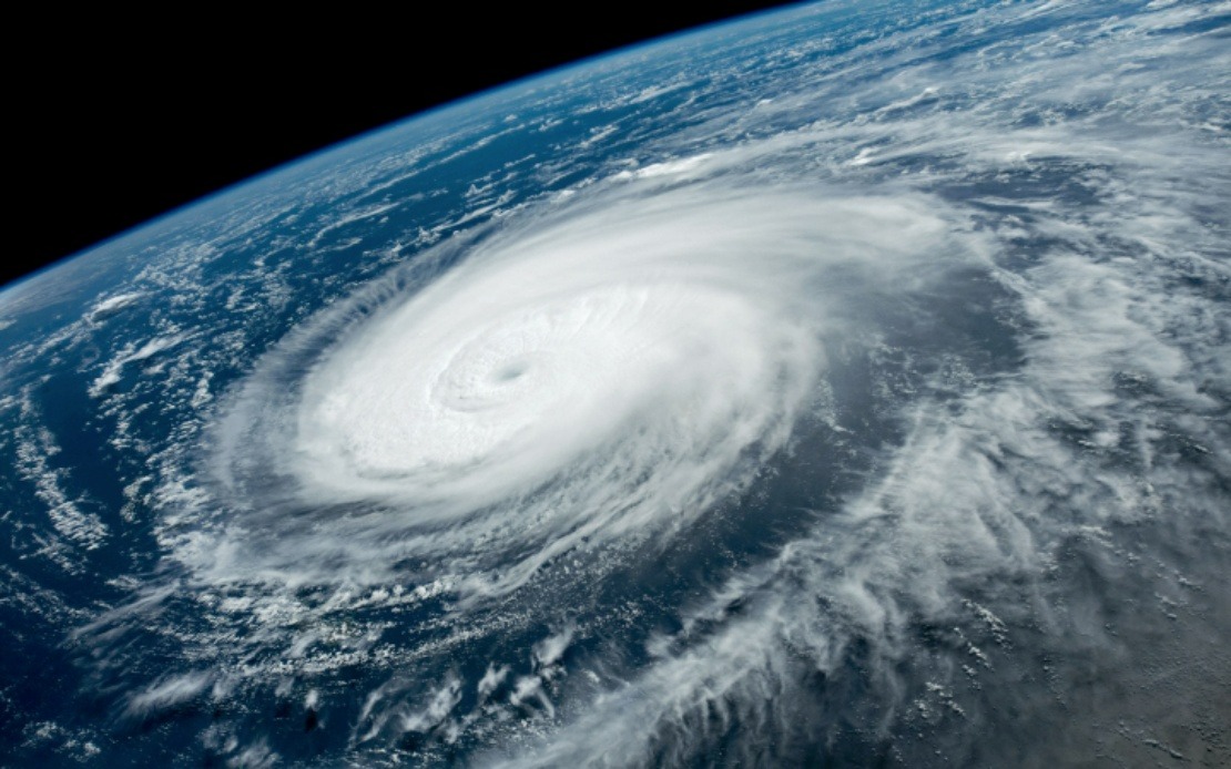
China's meteorological authorities escalated their preparedness measures for Typhoon Dolphin on Saturday, upgrading the emergency response classification to Level III while simultaneously raising the typhoon warning from yellow to orange. This dual escalation signals the gravity with which officials are treating the approaching storm system, which meteorologists have assessed could deliver more severe impacts than Typhoon Bavi, which struck the country in July. The storm is forecast to make landfall somewhere along the eastern coastline between Zhoushan in Zhejiang Province and Fuding in Fujian Province during the window from Sunday night through Monday morning, putting densely populated and economically vital regions directly in the projected path.
Zhejiang Province, home to major ports and manufacturing centres, responded swiftly by raising its own typhoon emergency response to the second-highest level on Saturday. The provincial government has deployed more than 4,000 trained monitors across vulnerable areas to conduct inspections and surveillance of over 7,500 locations assessed as susceptible to landslides, flooding, and other geological hazards that typically accompany severe typhoons. This extensive monitoring network reflects lessons learned from previous storms and underscores the administrative sophistication that China has developed for disaster management in recent years.
The scale of disruption already implemented demonstrates the comprehensive nature of preparations underway. Zhejiang suspended operations across its entire fleet of 162 passenger ferry routes, effectively halting maritime transport connectivity to islands and outlying communities. By Friday morning, authorities had already called 474 construction and support vessels to shelter in port, while halting all work activities at 193 offshore construction projects scattered across provincial waters. These preemptive measures remove mobile assets from danger while preventing personnel from becoming stranded at sea during the storm's passage.
Fujian Province to the south pursued parallel strategies, though with somewhat smaller numbers reflecting its different geography and port structure. Authorities there suspended 40 passenger ferry routes by Saturday noon and ordered 115 offshore construction sites to cease operations. In the coastal city of Fuding, which sits near the projected landfall point, the situation demanded particular vigilance—all 1,210 registered fishing boats operating from that port had returned to shore, removing the commercial fishing fleet from exposure to dangerous waters and ensuring crews would be safely ashore during peak storm conditions.
Shanghai, though not directly in the primary impact zone, issued a blue-level typhoon alert on Friday as forecasters identified the possibility that Typhoon Dolphin's circulation would deliver strong winds and heavy precipitation to the metropolis for up to four consecutive days. The city's transportation authorities preemptively announced suspensions of selected train services throughout the Yangtze River Delta region beginning Sunday, disrupting regional connectivity for millions of commuters and affecting freight movement across one of China's most economically productive corridors.
Xu Yinglong, chief forecaster at the National Meteorological Centre, provided comparative context that underscored why Chinese authorities were escalating their responses. His assessment that Typhoon Dolphin could generate stronger winds and heavier rainfall than July's Typhoon Bavi justified the more aggressive warning posture and emergency classification. This meteorological analysis shaped policy decisions across multiple provinces, as regional administrators weighed the forecaster's projections against historical data and vulnerability assessments for their respective jurisdictions.
China's structured approach to typhoon management reflects decades of experience managing tropical cyclones along its vulnerable eastern seaboard. The nation employs a colour-coded warning system with four tiers—red representing the most severe condition, descending through orange, yellow, and blue. Alongside this warning framework operates a parallel emergency response hierarchy also divided into four levels, with Level I denoting the highest state of alert and activation. Saturday's upgrade from lower classifications to Level III, combined with the orange alert status, positioned the entire national emergency management apparatus in heightened readiness mode.
The economic disruptions flowing from these precautionary measures remain substantial. Hundreds of construction projects worth billions of yuan halted operations, ferry operators faced revenue losses from route suspensions, and fishing communities lost access to maritime resources during peak season. Yet Chinese policymakers have consistently prioritised life safety over economic continuity when typhoon threats materialise, reflecting a strategic calculation that loss of life and infrastructure damage ultimately prove more costly than temporary economic interruption.
For Malaysia and other Southeast Asian nations, Typhoon Dolphin's approach serves as a reminder of the region's continuing vulnerability to tropical cyclones, though the storm's landfall location in eastern China places it beyond immediate threat to Malaysia. However, the scale and sophistication of China's mobilised response—involving thousands of monitors, hundreds of vessels, tens of thousands of workers, and multiple provincial governments—illustrates the resource intensity required for modern disaster preparedness. As Southeast Asian nations continue developing their own meteorological and emergency management capabilities, the Chinese model offers both instructive practices and cautionary lessons about the genuine complexity of typhoon response in densely populated coastal zones.

