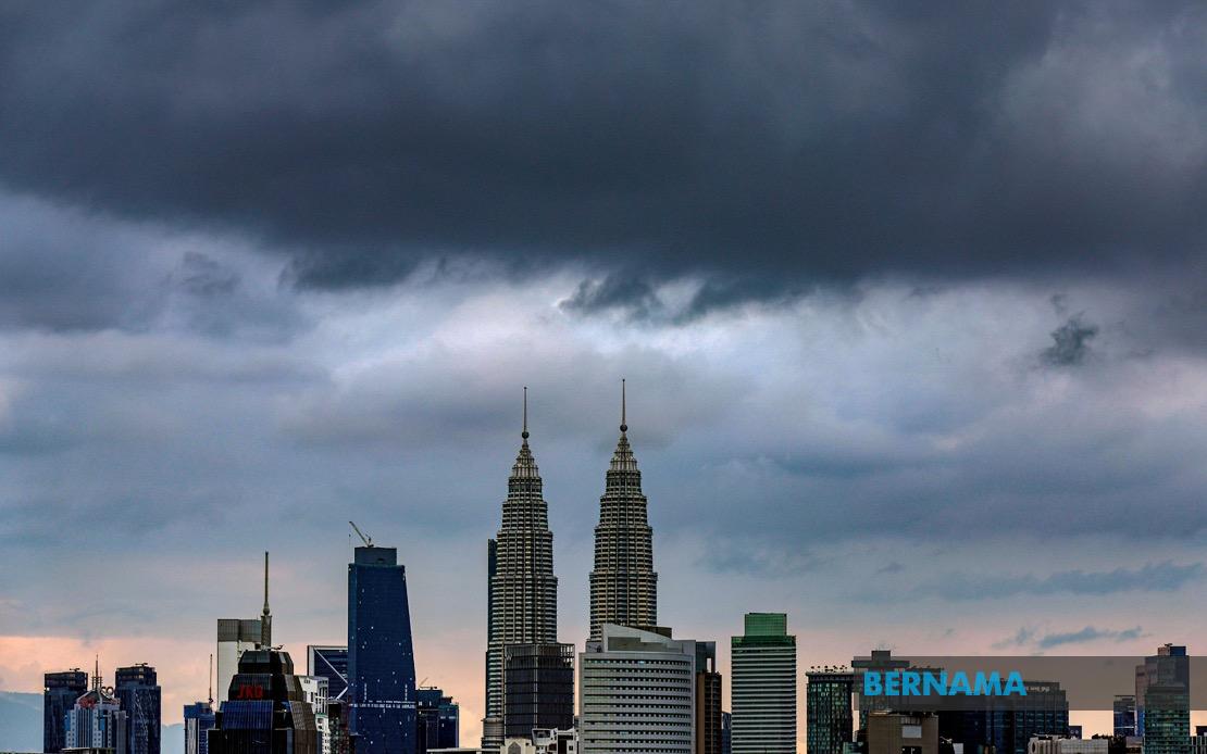
Residents across Kuala Lumpur, Putrajaya, and eight other Malaysian states face a spell of severe weather today, with meteorologists warning of thunderstorms, torrential rain, and strong winds lasting until 3 pm. The Malaysian Meteorological Department issued the alert to help communities prepare for potentially hazardous conditions that could disrupt daily activities and create safety risks.
The weather system affecting the nation's capital extends across a broad swathe of the peninsula, encompassing several major population centres and affecting millions of people. In Kedah, the warning encompasses seven districts: Yan, Pendang, Kuala Muda, Sik, Baling, Kulim and Bandar Baharu. Meanwhile, Perak's Kerian and Larut, Matang and Selama districts are similarly impacted, suggesting a coherent weather pattern sweeping across the northern and central regions.
The entire state of Penang faces the same hazardous conditions, a significant concern given the state's high population density and established infrastructure vulnerability to flash flooding. In Selangor, which surrounds Kuala Lumpur and contains some of Malaysia's most developed urban and industrial zones, seven areas have been flagged: Kuala Selangor, Klang, Gombak, Petaling, Kuala Langat, Hulu Langat and Sepang. The inclusion of these economically vital zones suggests potential disruptions to commerce and transportation networks.
Southern regions are equally affected by the anticipated weather system. Pahang's Rompin district, along with multiple divisions in Negeri Sembilan including Seremban, Port Dickson, Rembau and Tampin, are bracing for the impact. Melaka faces the full brunt of the atmospheric disturbance, whilst Johor's southern and central districts of Tangkak, Segamat, Muar, Batu Pahat and Kluang are in the warning zone. This geographical spread indicates a substantial low-pressure system or monsoonal influence affecting the entire peninsula.
Thunderstorms of this magnitude typically pose multiple hazards for the affected populations. Heavy rainfall can overwhelm drainage systems, particularly in low-lying areas and urban centres with aging infrastructure, leading to flooding that disrupts traffic flow and threatens properties. Strong winds accompanying such systems can uproot trees, damage structures, and create dangerous conditions for outdoor activities and construction sites. The combination of these three elements—thunder, rain, and wind—creates compound risks that emergency services and local authorities must actively manage.
For commuters and travellers, the afternoon window presents a critical consideration. Whilst the warning extends only until 3 pm, residual effects often linger beyond the official expiration time. Those planning to travel during this period should exercise caution, allowing extra time for journeys and avoiding routes known to flood during heavy precipitation. Public transport users may experience delays, and those driving should reduce speed and increase following distances on wet roads.
The temporal limitation to 3 pm suggests meteorologists anticipate the system will weaken or shift after that time. However, this classification reflects current atmospheric modelling and remains subject to change. Conditions can intensify or persist longer than forecast, particularly if the triggering weather system moves more slowly than anticipated or if additional moisture feeds into the system from surrounding regions.
For businesses and workers across the affected zones, operational adjustments may be necessary. Companies with outdoor operations or those relying on prompt logistics should consider contingency plans. Government and private sector offices may need to arrange flexible working arrangements or stagger operations to accommodate transport challenges. Schools and educational institutions should monitor forecasts carefully, particularly regarding the safety of afternoon dismissals and activities.
Residents are strongly advised to remain indoors during the worst of the conditions where possible. Those working outdoors should seek shelter when storms approach. Drainage channels and streams should be monitored, particularly in areas with histories of flash flooding. Vulnerable populations, including the elderly and those with respiratory conditions, should take precautions as thunderstorms can sometimes trigger complications.
The agricultural sector, particularly in Kedah and Perak where significant farming operations exist, may experience both benefits and challenges. Whilst heavy rain replenishes soil moisture and water reserves, excessive downpours can damage crops, erode topsoil, and create waterlogging conditions that harm plant growth. Farmers should assess field conditions after the weather passes to address any damage.
MetMalaysia continues monitoring atmospheric conditions and may issue updates if the situation develops differently than currently projected. Residents are encouraged to stay informed through official meteorological broadcasts and emergency management channels. The alert represents the department's commitment to providing advance warning that enables communities to take protective measures and minimise the impacts of severe weather.

