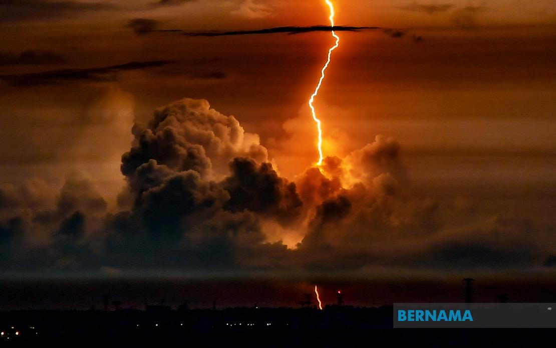
The Malaysian Meteorological Department has alerted residents across East Malaysia to prepare for intense thunderstorm activity affecting numerous districts in Sarawak, Sabah and the federal territory of Labuan, with the severe weather expected to persist until 11 am on August 20.
The warning, disseminated at 8.50 am, encompasses a geographically dispersed region across Borneo island, reflecting the volatile atmospheric conditions that can rapidly develop across the region during the monsoon season. The alert carries implications for residents, commuters, farmers and those engaged in maritime activities, as the combination of heavy rainfall, thunder and strong winds poses genuine operational and safety challenges across the affected zones.
In Sarawak, the meteorological body identified specific areas expected to bear the brunt of the adverse weather. The warning covers Betong in the Saratok division, the coastal town of Sarikei, and the Mukah division encompassing the areas of Daro, Matu, Mukah and Dalat. The Miri division faces potential impact in the Beluru and Marudi areas, while Limbang and portions of Kapit division including Belaga have also been flagged. Bintulu residents in the Tatau area should similarly exercise caution during the warning period.
Sabah's exposure to the thunderstorm system is concentrated in two distinct zones. The Interior division areas including Kuala Penyu, Beaufort and Membakut represent one focus point, where sudden downpours can disrupt transportation links and agricultural operations. Concurrently, the West Coast region spanning Papar, Penampang, Putatan and the state capital Kota Kinabalu faces comparable threats, making this the most densely populated zone affected by the warning.
The entire Federal Territory of Labuan, situated off the Sabah coast, has also been included within the scope of the alert. Given the island territory's geographic position and exposure to maritime weather systems, thunderstorm conditions can generate hazardous seas and restrict port operations, affecting the territory's maritime-dependent economy.
MetMalaysia's technical definition of a thunderstorm warning establishes specific scientific thresholds that trigger public notification. The department issues such warnings when meteorological indicators suggest the imminent arrival or continuation of thunderstorm activity accompanied by rainfall intensities exceeding 20 millimetres per hour, with the expectation that such conditions will persist for more than one hour. These quantitative parameters ensure that warnings are issued only when genuine meteorological danger exists, rather than for routine or transient weather variations.
The intensity threshold of 20 millimetres per hour represents moderate to heavy rainfall by international standards, capable of generating localised flooding in poorly drained areas, overwhelming inadequate drainage infrastructure in urban zones, and creating treacherous conditions on roadways. The specification that such rainfall must be expected to continue for over an hour underscores the operational significance of the warning, as brief showers pose minimal disruption compared to sustained precipitation events.
For Malaysian residents in the affected areas, the advisory carries practical implications across multiple sectors. Public transportation operators may experience service delays or cancellations on routes vulnerable to flash flooding. Outdoor construction projects, agricultural harvesting operations and outdoor events must be curtailed or relocated. Motorists should exercise heightened caution, as reduced visibility during thunderstorms combined with water accumulation on road surfaces increases accident risks substantially.
The meteorological department has directed affected residents to maintain vigilance throughout the warning period and to access real-time updates through official channels. MetMalaysia's website and social media platforms serve as primary information sources for weather developments, enabling residents to adapt their plans as conditions evolve. This multi-channel communication approach recognises the importance of rapid information dissemination in allowing individuals to make timely decisions that prioritise personal safety and operational continuity.
Thunderstorm systems in the Borneo region typically develop due to pronounced diurnal heating and converging atmospheric conditions characteristic of equatorial locations. The region's topography, particularly the interior highland regions of both Sarawak and Sabah, can facilitate the development of localised convective systems that generate intense but geographically concentrated severe weather. Residents familiar with East Malaysian weather patterns understand that such warnings, while routine during particular seasons, warrant genuine attention and preparedness.
The geographical breadth of this warning—spanning multiple divisions across two states and a federal territory—suggests a more expansive weather system than isolated convective cells. Such widespread alerts typically indicate that a mesoscale weather phenomenon, potentially associated with a larger pressure system or convergence zone, is affecting the entire region simultaneously. This systemic approach means that the thunderstorm activity will likely develop across all warned areas within a relatively compressed timeframe rather than scattered locations over extended hours.
For Malaysian and Southeast Asian weather-conscious observers, thunderstorm warnings represent standard operational communications during monsoon transition periods and seasonal weather pattern shifts. The region's tropical maritime climate ensures that such events remain predictable features of the weather calendar, necessitating that residents and businesses maintain awareness of meteorological advisories and develop contingency plans accordingly.

