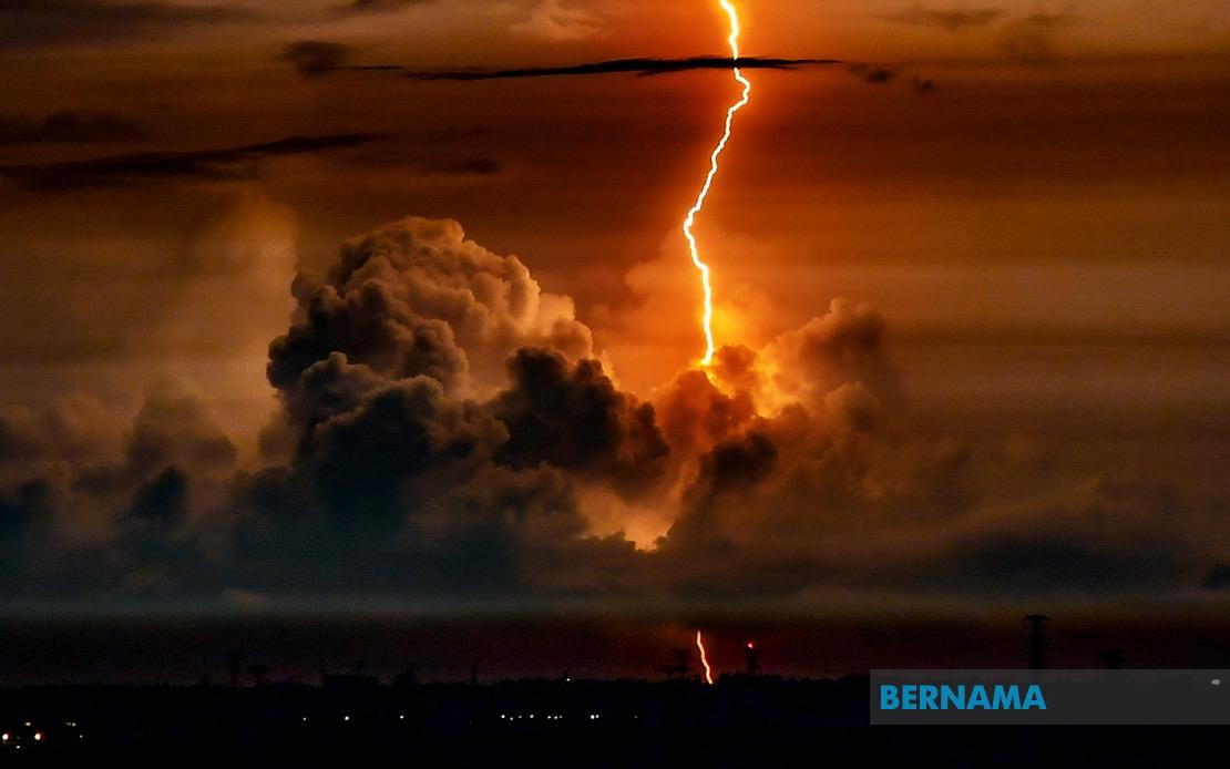
Residents across Malaysia face a night of potentially hazardous weather as the Malaysian Meteorological Department issues an urgent warning for thunderstorms, heavy rain and strong winds stretching across seven states until 9 pm on July 20. The alert underscores the volatile atmospheric conditions developing across the nation during the monsoon transition period, prompting residents and authorities to take precautionary measures to safeguard lives and property.
In the northern peninsula, Kedah experiences the most concentrated impact, with the districts of Sik and Baling designated as high-risk zones. Just to the south, Perak faces similar threats in its highland regions of Hulu Perak and Batang Padang, where terrain and elevation may amplify rainfall intensity and increase the risk of flash flooding in low-lying communities and along watercourses.
The east coast emerges as another significant flashpoint, with Terengganu bearing the brunt of the incoming system. Multiple districts including Setiu, Kuala Nerus, Hulu Terengganu, Kuala Terengganu and Marang face the full force of the disturbance, raising concerns for coastal areas and river systems that drain into the South China Sea. The neighbouring state of Pahang shoulders an equally extensive warning envelope covering seven administrative divisions: Cameron Highlands, Lipis, Jerantut, Maran, Kuantan, Pekan and Rompin. This sprawling affected area reflects the weather system's broad geographical reach across the peninsula's central and eastern spine.
Johor, positioned at the southern extremity of peninsular Malaysia, witnesses the weather system's southern flank, with Kluang, Mersing, Kulai, Kota Tinggi and Johor Bahru entering the warning zone. The distribution of affected districts suggests a complex atmospheric pattern moving across the region with significant regional variation in intensity and duration.
East Malaysia confronts an equally severe scenario, with Sarawak experiencing the meteorological alert across its entire administrative footprint. The warning encompasses a striking breadth of territory, from Kuching and Serian in the southwest through the interior divisions of Sibu, Mukah, Kapit and Bintulu, extending northeastward to Miri and Limbang on the border with Brunei. This comprehensive coverage indicates a major weather system affecting the entire Sarawakian landmass, potentially disrupting transportation, agricultural activities and outdoor operations throughout the state.
Sabah similarly faces considerable disruption across five major administrative regions. The Interior division, encompassing Sipitang and Tambunan, joins the alert alongside the West Coast districts of Tuaran and Ranau. The southern Tawau region, specifically Lahad Datu, confronts the inclement conditions alongside Sandakan's eastern territories including Telupid, Kinabatangan and Beluran. The alert extends to Kudat in the far north, encompassing Pitas, suggesting the weather phenomenon encompasses virtually the entire state.
The geographical span of this warning—stretching from Kedah in the north to Limbang in the east and encompassing both peninsular and East Malaysian territories—demonstrates the substantial scale and intensity of the meteorological disturbance. Such comprehensive coverage indicates a significant pressure system or monsoon circulation pattern moving through Southeast Asian airspace, generating conditions capable of producing dangerous lightning, intense precipitation and damaging wind gusts.
Thunderstorm warnings carry particular significance for Malaysian communities given the nation's tropical geography and vulnerability to flash flooding. Rapid rainfall accumulation in highland areas like Cameron Highlands and Hulu Terengganu can produce swift-moving floodwaters that pose dangers to residents, motorists and communities situated downstream. Lightning strikes present additional hazards to outdoor workers, fishermen and individuals caught in exposed locations during the disturbance's peak intensity.
The seven-hour duration of this warning—from the alert's issuance through 9 pm—provides a relatively constrained but critical timeframe for residents to implement protective measures. Communities in designated zones should secure loose outdoor fixtures, avoid unnecessary travel particularly through flood-prone areas, and remain vigilant for emergency services communications. Farmers and agricultural operators in affected districts may need to take steps to protect vulnerable crops and livestock from wind and water damage.
This weather event reflects the ongoing atmospheric variability characteristic of Malaysia's climate patterns during monsoon transition periods. The alternating dominance of different wind regimes during these transitional phases frequently generates localised but intense convective systems that produce severe weather across scattered geographical areas. Understanding and monitoring these patterns remains essential for public safety, infrastructure planning and disaster preparedness across the nation.
As evening approaches, residents throughout the affected districts are advised to monitor official weather updates from MetMalaysia and local authorities for any extension or modification of the warning. Emergency management agencies across all seven states maintain readiness to respond to weather-related incidents, while residents are urged to exercise heightened caution and follow official guidance throughout the evening hours.

