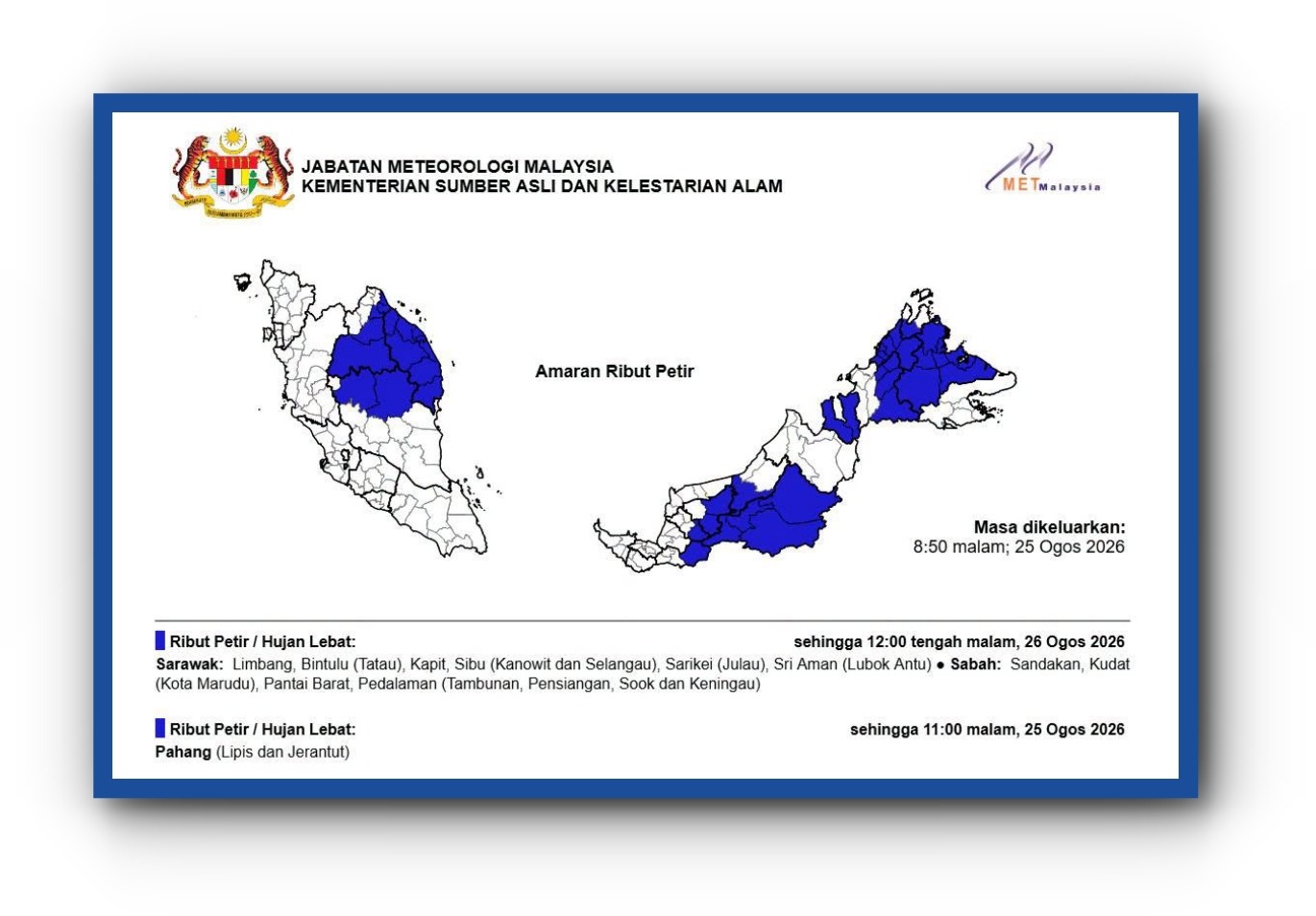
Malaysia's weather monitoring authority has flagged the presence of a tropical storm system currently traversing the northwestern approaches to the South China Sea, though meteorologists assess that the disturbance poses minimal immediate threat to the nation's territory. The Malaysian Meteorological Department released its advisory on 25 August, documenting a tropical storm advancing northeastward at a measured pace of 19 kilometres per hour, with its centre located approximately 1,691 kilometres from Kudat in Sabah—placing it well beyond Malaysian airspace and territorial waters.
At the time of the department's evening assessment, the storm's position was recorded at latitude 20.0 North and longitude 108.9 East, situating it roughly 39 kilometres northwest of Sandu in China's Guangdong province. This placement puts the system firmly within the broader western Pacific weather patterns that occasionally influence monsoon conditions affecting Southeast Asia, though current meteorological analysis suggests the disturbance will continue tracking away from the Malaysian peninsula and the island of Borneo.
The system demonstrated relatively moderate intensity characteristics at the time of reporting, with maximum sustained wind speeds reaching 65 kilometres per hour. While this wind velocity is sufficient to classify the disturbance as tropical storm-strength on the Saffir-Simpson scale, it remains below the thresholds that would typically warrant widespread public warnings or emergency preparedness measures across populated Malaysian regions. The measured forward motion of 19 km/h indicates a system that is neither accelerating dramatically nor stalling over any particular area, suggesting a predictable trajectory that meteorologists can track with reasonable confidence.
The Malaysian Meteorological Department's characterisation of the storm as having "not had a significant impact on Malaysia thus far" reflects both the current distance separating the system from Malaysian territory and the anticipated future track. Storm systems operating in this latitude band during the late monsoon transition period typically recurve toward the northeast and northwestward, a pattern that would carry this disturbance further away from Malaysian maritime zones and toward China's southern coastal regions where it may pose greater concern to local authorities.
For Malaysian maritime operators and aviation authorities, the storm's location is significant from an operational planning perspective. While the disturbance does not currently threaten Malaysian airspace or shipping lanes that fall under national jurisdiction, vessels and aircraft operating in the extended South China Sea region—including those engaged in trade between Malaysia and regional partners—may monitor the system's progression to ensure routing decisions account for any adverse weather developments. The tropical storm advisory mechanism serves as an early notification system that allows commercial operators and government agencies to maintain situational awareness of developing meteorological conditions.
The broader regional context suggests that tropical storm activity in this sector of the western Pacific remains within normal seasonal parameters for late August. The southwest monsoon transition period in Southeast Asia frequently produces such disturbances as atmospheric energy redistributes across the region. Malaysia's geographic position, sheltered by the larger landmass of Borneo and positioned south of the primary belt of tropical storm generation, typically experiences indirect effects from such systems rather than direct impacts. This particular storm's northeastward trajectory reinforces the pattern of systems in this zone tending to move away from Malaysian territory.
Meteorologicalservices across Southeast Asia maintain continuous coordination during periods of tropical weather activity, sharing observational data and forecast guidance to ensure consistent warnings across national boundaries. The Malaysian Meteorological Department's issued advisory fits within this regional framework of mutual awareness and information exchange. Neighbouring countries, particularly China and Vietnam, would be monitoring this system more closely given its trajectory toward their coastal regions and territorial waters.
For Malaysian disaster management and civil defence authorities, the storm tracking presents a monitoring situation rather than an activation scenario. Contingency planning protocols remain in readiness status, and the department continues regular updates that would trigger escalated responses should the system's projected path shift unexpectedly toward Malaysian territory. However, the current meteorological analysis and the system's distance from Malaysia's maritime boundaries suggest such scenarios remain unlikely based on prevailing atmospheric steering patterns.
The issuance of tropical storm advisories represents standard operational procedure within Malaysia's weather monitoring framework, ensuring that decision-makers across government, commercial, and maritime sectors maintain timely awareness of potentially significant weather systems. While this particular disturbance poses no immediate threat to Malaysian populations or infrastructure, the systematic tracking and public communication of such systems contributes to the nation's overall preparedness for tropical weather hazards. As the system continues its northeastward progression over the coming days, meteorological services will continue to monitor its evolution and adjust advisories as conditions warrant.

